Importing geographic coordinates data (Airpeak Plus exclusive)
What is “Mapping Mission”
This function automatically flies and shoots along planned routes to obtain images and data suitable for orthoimages or 3D modeling.
Mapping missions can be created with Airpeak Flight. After setting the area to be surveyed, the camera/lens to be shooted, the overlap rate, etc., a flight path will be automatically created.
Geographic coordinate data imported into Airpeak Base can also be used to specify the area to be surveyed.
Learn how to create a mapping mission with Airpeak Flight, please see the following URL.
ARS-S1 | Help Guide
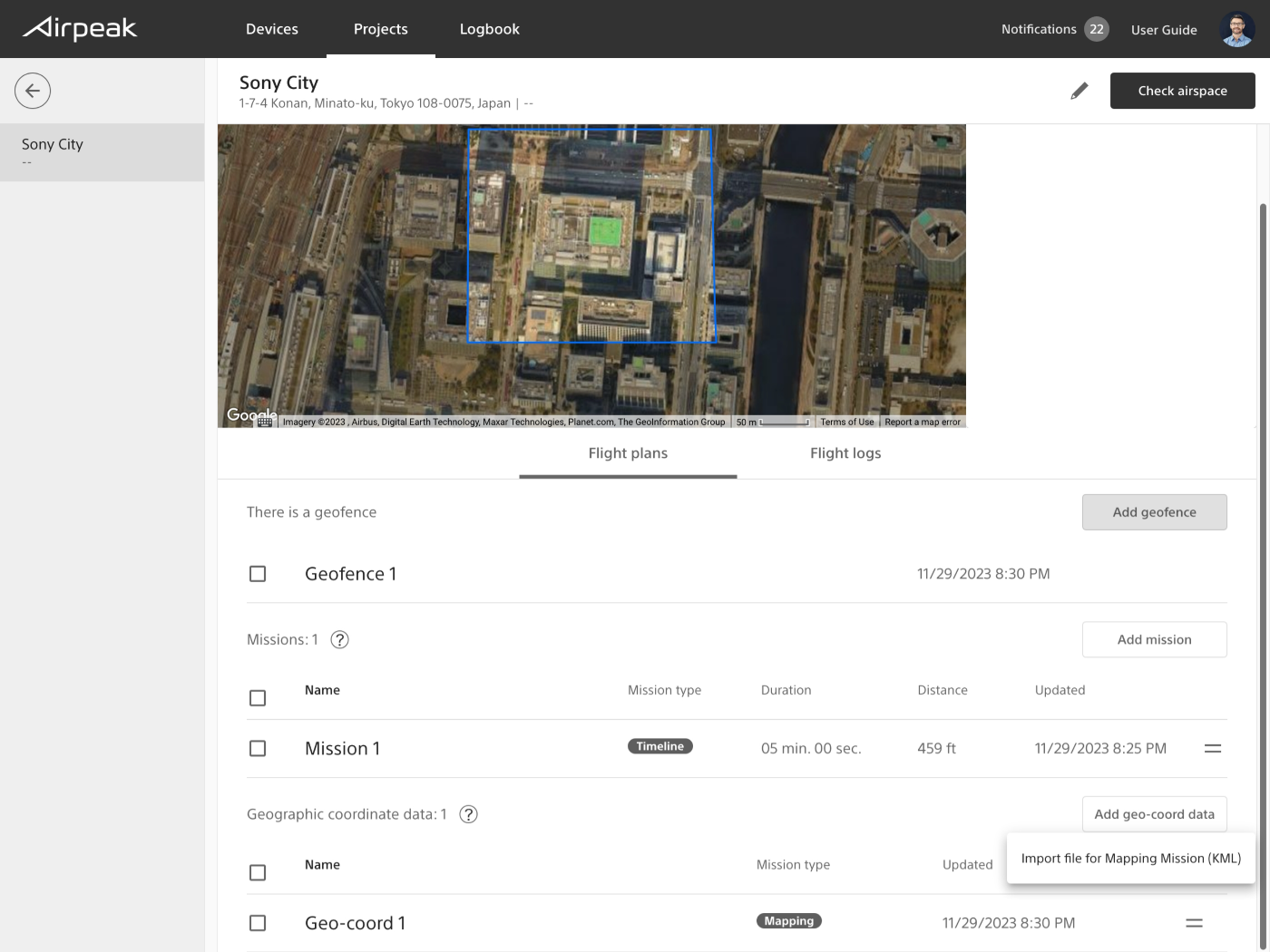
Importing geographic coordinate data for Mapping Mission
Screen may differ depending on the country/region of use and the account status.
Importing KML files as geographic coordinate data for Mapping Mission
- KML:Format when using an area created with an external tool
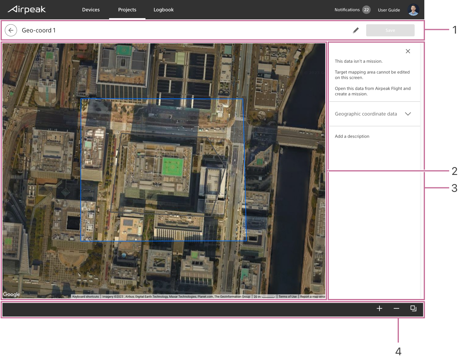
Screen of Geographic coordinate data for Mapping Mission
After importing the KML file, you can check the area to be mapped.
Screen may differ depending on the country/region of use and the account status.
- Title bar
- Workspace
- Geographic coordinate data detail panel
- Toolbar
The area specified in the KML file will be displayed on the map as a mapping target area.
You cannot edit the mapping target area on this screen.
Create Mapping Mission from geographic coordinate data with Airpeak Flight.
Learn how to create a mapping mission with Airpeak Flight, please see the following URL.
ARS-S1 | Help Guide