“Airpeak Plus” cloud service
What is “Airpeak Plus”?
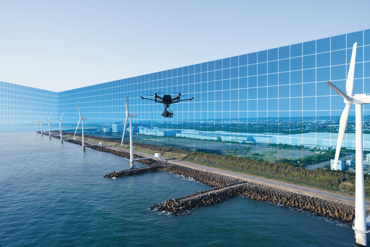
By subscribing to "Airpeak Plus" cloud service, you can save and manage essential data such as missions (advanced flight plans) and flight logs on the cloud for efficient and safe operation.
Airpeak Plus also enables full function of "Airpeak Base" including geofence and import/export of missions and flight logs.
*Sony account comes with free option without any charge.
How to subscribe
For more information, please see the following URL.
JP Account: https://www.sony.jp/airpeak/service/plus/confirm.html
US Account: https://electronics.sony.com/more/airpeak/p/apkplus12m
Subscriber benefits
1: Sufficient data storage capacity
The cloud storage service will be expanded to extend the storage period and capacity of the essential data such as equipment status and usage logs, flight logs and projects/missions. See specifications for details.
| Airpeak Plus (Paid) | Free Option | ||
| Project | Number of Projects | Max 100 projects | Max 10 projects |
| Number of Missions | Max 30 missions per project | Max 3 missions per project | |
| Project Storage Period | Two years from creation day of each project | ||
| Logbook | Number of Flight Logs | Max 1,500 logs | Max 100 logs |
| Import/export of flight logs | Yes | No | |
| Log Storage Period | Two years from upload or export | ||
*Aircraft, remote controller, and battery pack information managed on the Devices screen are stored for two years from the last upload of the flight log containing that information.
2: Geofence function

“Geofence” allows users to set up of restricted areas and altitudes in “Airpeak Base”.
The flight-restricted area will be synchronized with the aircraft through "Airpeak Flight" App.
With this feature, you can operate the aircraft safely only within the geofence zones.
- Geofence zones can be created in circle or polygon shapes. The maximum altitude can also be set.
- Multiple geofences can be set within a single project.*
- If the aircraft approaches a geofence, warnings will be displayed on the Airpeak Flight screen, and the aircraft will automatically decelerate or stop as needed. In addition, aircraft cannot take off in the airspace outside of geofence zones.
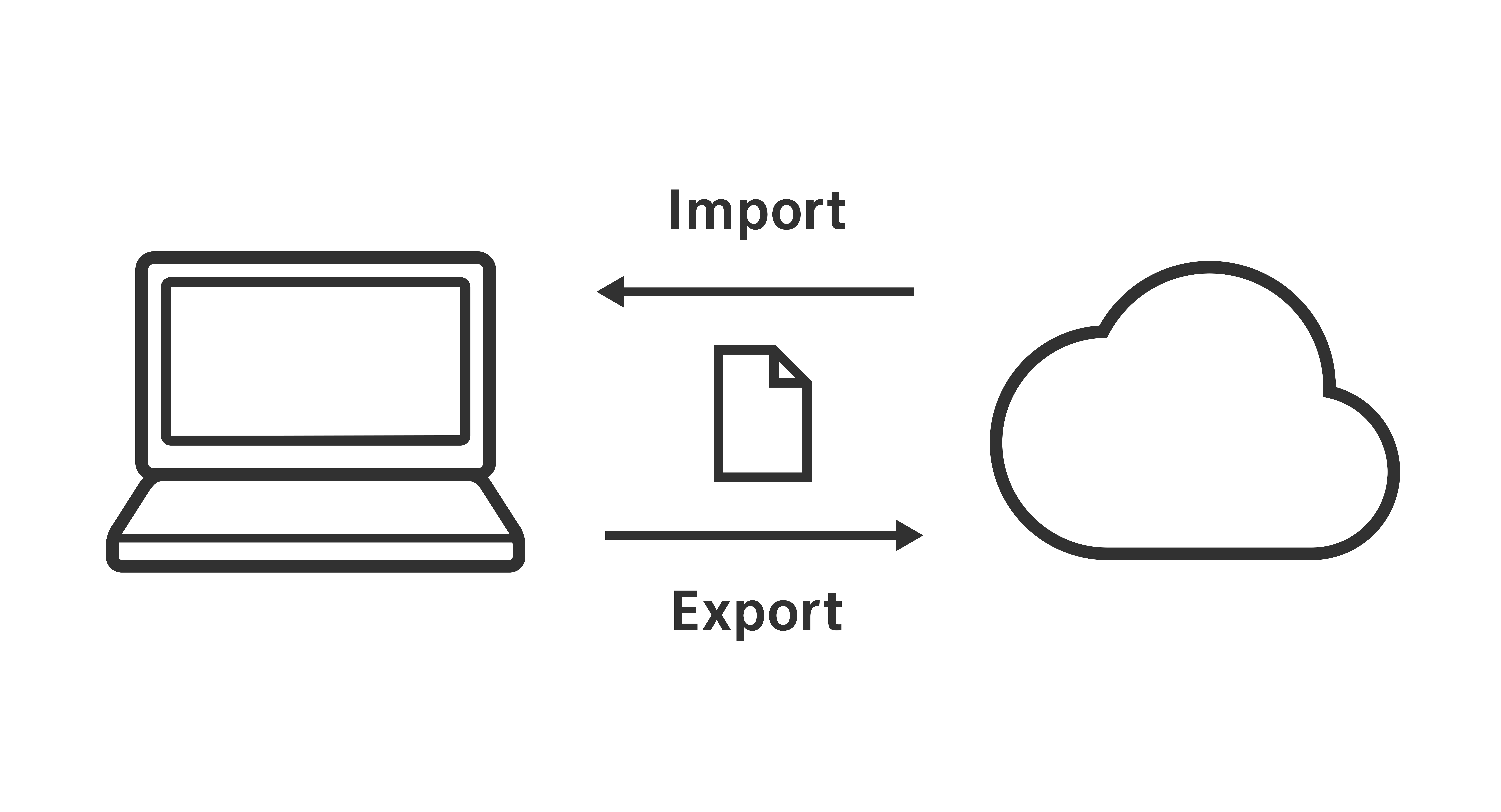
3: Import/export of mission and flight logs

"Airpeak plus" enables import and export of mission in "Airpeak Base".
User can create a flight plan by importing data from external service or take over a mission from other account.
Import and export of flight logs are available for quick archive on local device. You can also create a flight summary.
